Note
Need help? Please let us know in the UMEP Community.
3.1. Meteorological Data: Download data (ERA5)
Note
(February/2020) This plugin replaces the WATCH download plugin. To make use of this plugin you need to make additional configurations outside QGIS/UMEP (see below).
Note
ERA5 data is adjusted to UTC = 0. This has implications for other tools in UMEP (see respective tool documentation).
- Contributors:
Name
Institution
Ting Sun
Reading
Fredrik Lindberg
Gothenburg
- Introduction:
Basic meteorological variables are required for most applications in the UMEP processor. If observed data are not available for a particular location, hourly data can be retrieved from the global the Coopernicus programme and thier Climate Data Store. This plugin allows climate reanalysis data to be extracted for a specific location and period of interest (1979-2020), and transformed into formatted forcing files suitable for models within UMEP.
Variables available |
Comments |
|---|---|
Wind speed [m s-1] |
10 m instantaneous |
Air temperature [K] |
2 m instantaneous |
Specific humidity [kg kg-1] |
2 m instantaneous |
Pressure [Pa] |
Instantaneous surface pressure |
Incoming shortwave radiation [W m-2] |
Average over previous 1 hour |
Incoming longwave radiation [W m-2] |
Average over previous 1 hour |
Rainfall rate [kg m-2 s-1] |
Average over previous 1 hour |
- Configuring your computer to enable download:
- Obtaining ERA5 data via UMEP:
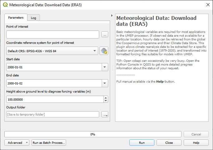
Fig. 3.1 ERA5 data downloader (UMEP for Processing): control panel
- Running the tool:
The downloader is separated into two sections:
Download climate data: Retrieves ERA5 data for all variables for the location and period of interest.
Latitude and longitude: WGS84 co-ordinates of the study location. Data is extracted from the ERA5 grid cell that contains these co-ordinates.
Start time and End Time: The time range of data to be downloaded
- Considerations:
Spatial resolution: The ERA5 data are provided for half-degree grid boxes. In regions with substantial heterogeneity within these grid boxes data at the grid-box scale may be not be representative of your study site (e.g. mountainous regions, urban areas).
Downloading long time series: The cdsapi can sometime be very busy and slow. The we recommend you to use www.shinyweatherdata.com where the same data can be downloaded at much faster speed.